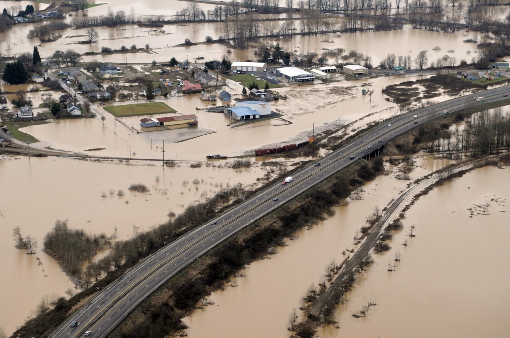
JLC Online‘s Ted Cushman reports on a study that reports flood risk is far greater than indicated by the Federal Emergency Management Agency’s flood maps.
More than 40 million Americans are at risk of flooding, with assets valued at $2.9 trillion exposed to flood loss—about triple the risk estimated by FEMA’s official 100-year floodplain maps, according to a new study by experts at the University of Bristol in the United Kingdom (see: “Estimates of present and future flood risk in the conterminous United States,” by Oliver Wing and colleagues). And that’s just the risk from rainstorms and flooded streams, not including the risk of hurricane storm surge, study author Oliver Wing told JLC.
The Miami Herald reported on the study in March (see: “FEMA flood maps massively underestimate real risks, study finds. Florida’s a hot spot,” by Jenny Staletovich). “With about $714 billion in property located in a 100-year floodplain, Florida is a national hotspot,” the paper reported.
FEMA Deputy Public Affairs Director Eileen Lainez told the Herald that the agency is aware of the new models used in the Bristol study, but she said FEMA has to verify new modeling before the agency can integrate any results into its maps. “These maps are intended to inform flood insurance requirements and regulate development standards in high-risk areas—they are not intended to show absolute lines where flooding will and will not occur,” Lainez told the Herald. “Anywhere it can rain, it can flood.”