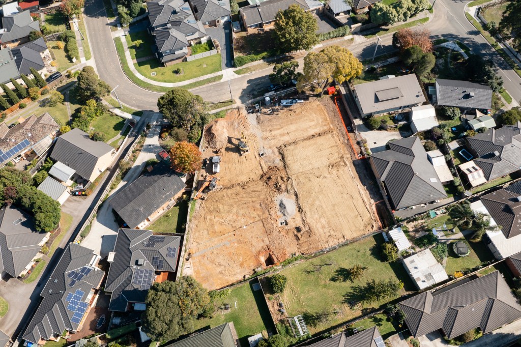
With the nation facing a housing shortage in the millions of units, land is both a necessity and a prized asset in today’s market. In the midst of the modern-day land rush, tools that offer stakeholders clear, complete, and actionable data can not only enhance efficiency—but also save companies millions.
Enter Acres.com. Launched in 2022, this land data and mapping platform provides information for over 150 million parcels of land nationwide. The tool provides companies with access to accurate land intelligence, comparable sales, and user-friendly mapping tools to inform quick, informed decision making.
Acres.com founder and CEO Carter Malloy spoke with BUILDER to share the Acres.com origin story, the value of good land data, and the role technology can play in improving home builders’ approach to land.

Acres.com
Carter Malloy, founder and CEO of Acres.com
Can you discuss the origins of Acres.com. What gaps were identified that you felt the platform could fill with its solutions?
Like many companies, we were solving our own problem first. We were building a business called AcreTrader, a land investment platform. That business was deploying hundreds of millions in capital and running into the same issue every single day: A lack of information about land. We were using a lot of disparate sources, we were paying for six different software solutions, and going into county courthouses and having eight different browser tabs open and still not getting the full picture. Still wasting a lot of times looking at sites that were irrelevant or did not pass muster for acquisition.
At that moment, we decided to build a tool for ourselves. We ultimately branded that as Acres.com and we launched it publicly a little over two years ago. It now has over half a million registered users of the product. Clearly we are not the only ones who had that problem.
What solutions are provided by Acres.com?
The best way to describe Acres is a single place for all of your maps and data. Land data that is clear and complete. You’ve got one place to see things like zoning, sewers, school districts, comparable sales, high resolution topography, and satellite imagery history. We’re really helping anybody in the business of land to get an immediate sense of the qualitative and quantitative descriptions of any parcel of land in the United States. From there, you can then go and find the right pieces of land and landowners to target so you are spending your time effectively. You can easily manage that data and your pipeline all in one place.
How does Acres.com use technology or data to improve decision-making and operations?
If I am to zoom out and look at the industry big picture, doing site selection effectively is critical for sustained growth. What we are doing is supercharging those land teams around decision making, around the regional, national, and parcel level data to help them make informed decisions to do everything from diligence to negotiation to purchasing to managing and ultimately developing. We are helping to inform those processes with much greater detail and speed them up dramatically.
The construction industry is traditionally a technology laggard. Do you believe the industry is becoming more willing to adopt new technologies?
I think, as humans, change is hard. This industry, like many others, has operated a certain way for a very long time. We do see a pretty rapid amount of adoption. There is natural resistance – there is always natural resistance to change. But it becomes clear when we talk to folks, there is a fear of obsolescence. The market can shift. Having this type of land intelligence at your fingertips means you can move much faster and save millions of dollars as a single team. We are seeing folks adopt these real-time data solutions to gain a competitive edge and to be able to get everything tightly in one place so they can reduce their timelines, improve their internal collaboration, and make smarter and more informed decisions.
I think there are two drivers of adoption. The first is that there is a race on for land. COVID drove a huge amount of demand for folks in municipal areas to go and buy farm land. That’s really been pushing prices. Behind that is an absolute swell of demand from folks like data centers and power sources, and that is really driving up bids. That is one example of this macro trend that we think is driving folks out of necessity to adopt data. In that example, you have to have [data], it’s no longer an option. You have to have high quality and recent comparable sales. That is paramount to being able to price land effectively. We have a whole team working on just that one piece of data, that solution, so that our customers have the most recent land data.
From one angle, there is this necessity because things are moving so quickly that you have to adapt to the market. There has not been a tool like Acres in the past and as we get in front of folks, it becomes very obvious that this isn’t a want, but a need. This is going to help companies and their teams in dramatic ways.
What do you see as the biggest challenges and opportunities in the land market?
This mad dash for land is driving prices in pretty crazy ways. Frankly it is getting much harder to know if you are getting a good deal or not. It’s impossible, then, for the executive to understand those local market dynamics. We see that as a great opportunity to help folks to help them spend their time effectively on the right pieces of land. There is no single nationwide source of land data out there. We are providing data and tooling for everybody from the front line land acquisition person up to the C-suite to do land acquisition, to monitor portfolios and pipelines. Most importantly, a problem we quietly solve is that it is very fast, it is very current data, and it is very easy to use. Lots and lots of technology does not get adopted because it is hard. We built this because we didn’t like using GIS systems because they are completely non-intuitive.
For us, the reasons for optimism are ultimately our customers are recognizing and embracing that this idea of near real-time data can give them a competitive edge. If I am thinking about the world in this simplistic way, you have Google Maps on one side—a very consumer product—and you have these GIS on the other end of the spectrum—great if you are an engineer. We see this opportunity for this large middle area of business people. There are a huge number of business people that need data and easy-to-use maps. That’s explicitly what we are focused on.
What is your vision for the future of Acres.com? Where do you see the company in 5-10 years?
For us, long-term we expect any business person who deals with land and maps to be using Acres.com. We are a little over two years in and have half a million folks who have found us. Extrapolation is a dangerous game, but certainly that is our goal to platform the industry and provide everyone tools to be more effective in their job.
We are a team of about 70 folks and most of us are technical. We have deep investments in data and technology. We will continue pressing there harder and harder. We are hiring and every week pressing further and further. We are going to continue to push to have the widest and most recent data available in one easy tool. As a company, near-term what that means is great enhancement to pipeline management and portfolio management for our users. New and differentiated data on the type of platform. Some AI initiatives. We have some AI instances in the platform already where you can drag and drop your survey description, your title description, and it will draw a legal document for your easement or your boundary of property. We will have some innovative applications of AI this year doing time saving activities inside the tool.